Hurst Street
If you could step back in time and searched for Hurst Street you would be hard pressed to find any sign of our subject much before the middle of the 18th century. One of the local landowners was Richard Smalbroke, and a street heading from the town of Birmingham, towards Edgbaston, along the southern edge of his land carried his name. The Smalbrokes had land in Yardley and the family home still stands – Blakesley Hall. The Smalbrokes married into the Vyse family – another name with historical significance in the growing town of Birmingham.
Up until the 1960s the aforementioned street was Smallbrook Street, and this vanished under the city’s concrete collar in the form of Smallbrook Queensway.
Let’s step back to 1553 and take a look at a map created in that year. It shows the area to the south of the town and St Martin’s Church clearly dominates the area. Just to the south is the de Bermingham Manor House with its moat and we can see the location of the Lady Well – another significant landmark. We can also see Smalbroke’s name labeled “Land of Richard Smalbroke” and the probable future line of Hurst Street is marked.

At the foot of the map is a name of a landowner that is also significant – Dr Sherlock, – this time with another story to tell, but centuries later.
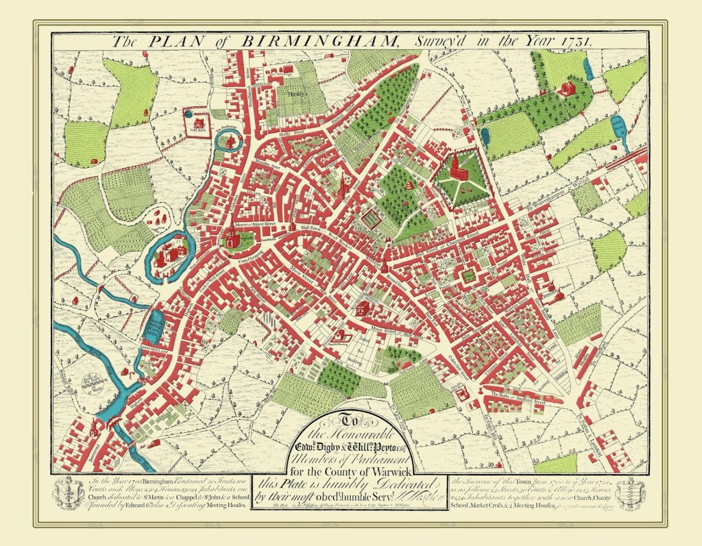
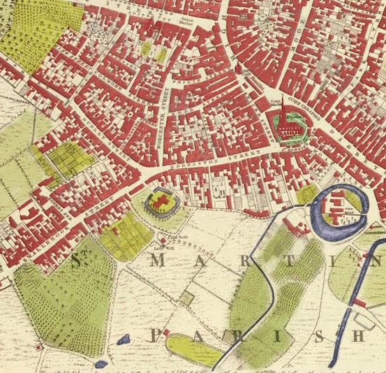
But if you look at a maps from 1731 and 1750, you will see an unnamed lane heading south-east from Smalbroke (or Smallbrook) Street which would later become Hurst Street. It was known that at the time this area was farmland and orchards but by the end of the century change was afoot.